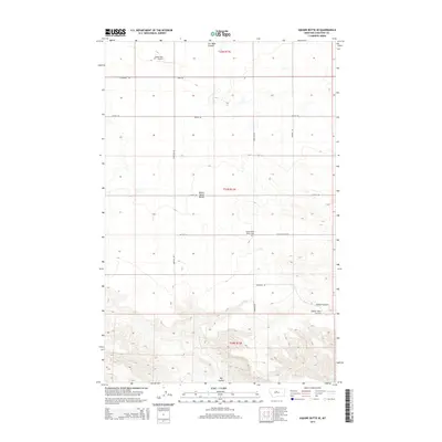
2014 Map of Square Butte SE
USGS Topo · Published 2014About this map
Square Butte Bench dominates this high prairie landscape in Chouteau County, serving as a prominent landform in an area defined by agricultural road grids and drainage coulees. The map details a rural geography where family names are etched into the landscape through thoroughfares such as Hawarden Rd, Nelson Ln, and Robison Rd. Local aviation history is represented by the Owen Bros Airport near the northern boundary, while the Square Butte Bench Cem provides a focal point for genealogical interest in this sparsely populated region. Water management and natural erosion patterns are evident in the systems of Cut Bank Coulee and Big Coulee, which carve through the plains and dictate the placement of ranching infrastructure and boundary lines.
Find a feature on this map
21 named features on this map. Tap any name to fly to it.
Don’t see what you’re looking for? This feature index may not catch every label — zoom into the map to look around manually.
Map Details
Editions of this 2014 Square Butte SE Map
This is the sole edition of this map. No revisions or reprints were ever made.
Other maps of this area
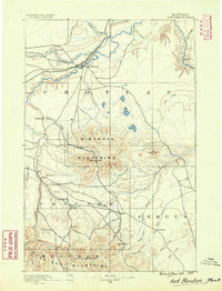
1890 · Fort Benton
USGS Topo · 1:250,000
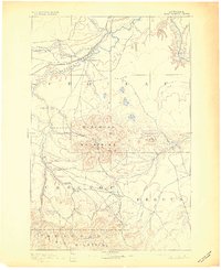
1892 · Fort Benton
USGS Topo · 1:250,000
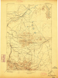
1897 · Fort Benton
USGS Topo · 1:250,000
1953 · Last Chance Bench
USGS Topo · 1:24,000

1954 · Great Falls
USGS Topo · 1:250,000

1954 · Lewistown
USGS Topo · 1:250,000
1957 · Great Falls
USGS Topo · 1:250,000

1959 · Lewistown
USGS Topo · 1:250,000
1972 · Square Butte SE
USGS Topo · 1:24,000
1972 · Square Butte
USGS Topo · 1:24,000