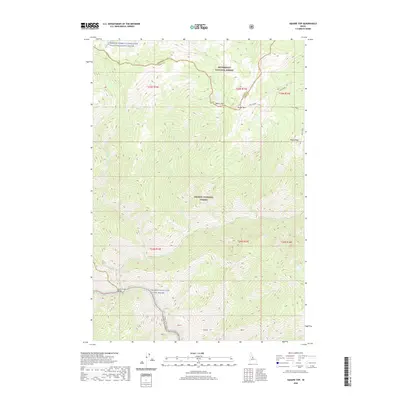
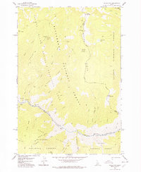
2020 Map of Square Top
USGS Topo · Published 2020About this map
Salmon Wild and Scenic River and its tributary systems dominate this wilderness region of Central Idaho, where the Idaho and Lemhi County line cuts through high mountain terrain. The landscape is defined by massive ridges and deep river canyons, most notably the Middle Fork Clearwater Wild and Scenic River in the north and the main Lower Salmon River in the south. High peaks such as Square Top and Parker Mtn provide the topography that feeds numerous drainages like Colt Cr and Wheat Cr.
Find a feature on this map
27 named features on this map. Tap any name to fly to it.
Don’t see what you’re looking for? This feature index may not catch every label — zoom into the map to look around manually.
Map Details
Editions of this 2020 Square Top Map
This is the sole edition of this map. No revisions or reprints were ever made.
Other maps of this area

1956 · Elk City
USGS Topo · 1:250,000

1960 · Elk City
USGS Topo · 1:250,000
1962 · Wood Hump
USGS Topo · 1:24,000
1962 · Blue Joint
USGS Topo · 1:24,000
1962 · Square Top
USGS Topo · 1:24,000
1962 · Long Tom Mtn
USGS Topo · 1:24,000
1962 · Horse Creek Butte
USGS Topo · 1:24,000
1962 · Butts Creek Point
USGS Topo · 1:24,000
1977 · Cottonwood Butte
USGS Topo · 1:24,000
1978 · Waugh Mountain
USGS Topo · 1:24,000