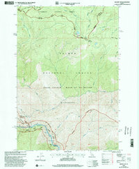
1998 Map of Square Top
USGS Topo · Published 2002About this map
The Frank Church - River of No Return Wilderness dominates this 1998 revision, marking a landscape defined by protected waterways and rugged terrain. The intersection of the Salmon Wild and Scenic River and the Middle Fork Clearwater Wild and Scenic River creates a corridor of preserved river ecology, featuring notable navigational points like Gunbarrel Rapids and Killum Point Rapids.
Find a feature on this map
37 named features on this map. Tap any name to fly to it.
Don’t see what you’re looking for? This feature index may not catch every label — zoom into the map to look around manually.
Map Details
Editions of this 1998 Square Top Map
This is the sole edition of this map. No revisions or reprints were ever made.
Other maps of this area

1956 · Elk City
USGS Topo · 1:250,000

1960 · Elk City
USGS Topo · 1:250,000

1962 · Wood Hump
USGS Topo · 1:24,000

1962 · Blue Joint
USGS Topo · 1:24,000

1962 · Square Top
USGS Topo · 1:24,000

1962 · Long Tom Mtn
USGS Topo · 1:24,000

1962 · Horse Creek Butte
USGS Topo · 1:24,000

1962 · Butts Creek Point
USGS Topo · 1:24,000

1977 · Cottonwood Butte
USGS Topo · 1:24,000

1978 · Waugh Mountain
USGS Topo · 1:24,000