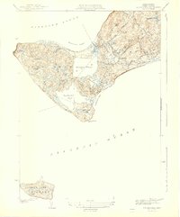
1944 Map of Squibnocket
USGS Topo · Published 1944About this map
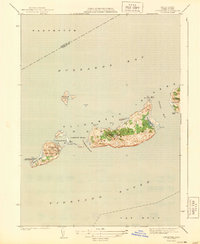
Gay Head Lighthouse stands watch over the westernmost tip of Martha's Vineyard in this 1942 survey, marking a coastline defined by the dramatic Nashaquitsa Cliffs and Wequobsque Cliffs. The landscape is a complex network of coastal ponds, including Squibnocket Pond and Menemsha Pond, which separate the various fishing villages and residential clusters. Small settlements like Lobsterville, Menemsha, and Nashaquitsa are connected by a few primary routes such as North Road and South Road.
Find a feature on this map
41 named features on this map. Tap any name to fly to it.
Don’t see what you’re looking for? This feature index may not catch every label — zoom into the map to look around manually.
Map Details
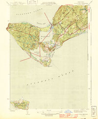
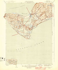
Editions of this 1944 Squibnocket Map
3 editions found
Other maps of this area

1887 · Gay Head
USGS Topo · 1:62,500

1889 · Gay Head
USGS Topo · 1:62,500

1893 · Gay Head
USGS Topo · 1:62,500

1942 · Marthas Vineyard
USGS Topo · 1:125,000

1944 · Tisbury Great Pond
USGS Topo · 1:31,680

1944 · Vineyard Haven
USGS Topo · 1:31,680
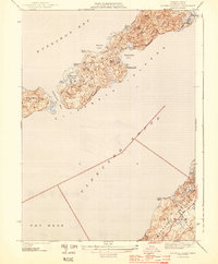
1944 · Naushon Island
USGS Topo · 1:31,680
1944 · Cuttyhunk
USGS Topo · 1:31,680

1947 · Providence
USGS Topo · 1:250,000

1948 · Providence
USGS Topo · 1:250,000