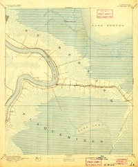
1892 Map of St. Bernard
USGS Topo · Published 1905About this map
Battery Bienvenue stands as a sentinel at the confluence of Bayou Bienvenue and Bayou Maxent, reflecting the coastal defense and maritime history of the Louisiana marshlands. This survey, conducted in 1890, captures the intricate geography of the lower Mississippi delta before modern levees and land loss transformed the region. The landscape is defined by the sweeping curves of the Mississippi River, including the famous English Turn, where plantations and small settlements like Saxonholm and St Clair line the narrow fertile banks.
Find a feature on this map
28 named features on this map. Tap any name to fly to it.
Don’t see what you’re looking for? This feature index may not catch every label — zoom into the map to look around manually.
Map Details
Editions of this 1892 St. Bernard Map
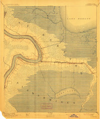
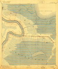
4 editions found
Other maps of this area

1891 · Spanish Fort
USGS Topo · 1:62,500

1891 · Pointe a La Hache
USGS Topo · 1:62,500

1891 · New Orleans
USGS Topo · 1:62,500

1892 · Barataria
USGS Topo · 1:62,500

1892 · Chef Menteur
USGS Topo · 1:62,500

1892 · St. Bernard
USGS Topo · 1:62,500

1892 · Pointe a La Hache
USGS Topo · 1:62,500

1893 · Rigolets
USGS Topo · 1:62,500

1893 · Shell Beach
USGS Topo · 1:62,500

1893 · Dime
USGS Topo · 1:62,500