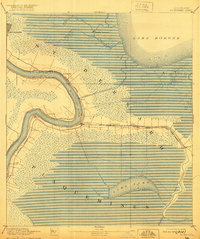
1892 Map of St. Bernard
USGS Topo · Published 1921About this map
The Mississippi River creates a dramatic, looping path through the marshy lowlands of St. Bernard and Plaquemines parishes in the late 19th century. This survey, revised by the Corps of Engineers before 1921, shows the intricate hydraulic landscape where human engineering met the delta's wetlands. Key infrastructure like the Lake Borgne Canal connects the river to Lake Borgne, while the Louisiana Southern railroad serves as the primary overland artery, branching off toward the coast. Coastal defense is noted at Battery Bienvenue, situated among a network of bayous including Bayou Bienvenue and Bayou Mazent. Settlement is concentrated along the river's natural levees, with historic landing points and villages such as Poydras, Saxonholm, and English Turn. appearing as critical waypoints between the city and the gulf.
Find a feature on this map
29 named features on this map. Tap any name to fly to it.
Don’t see what you’re looking for? This feature index may not catch every label — zoom into the map to look around manually.
Map Details
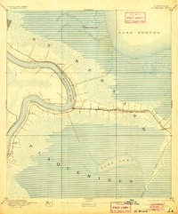
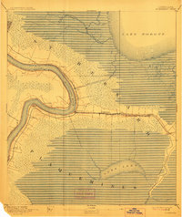
Editions of this 1892 St. Bernard Map
4 editions found
Other maps of this area

1891 · Spanish Fort
USGS Topo · 1:62,500

1891 · Pointe a La Hache
USGS Topo · 1:62,500

1891 · New Orleans
USGS Topo · 1:62,500

1892 · Barataria
USGS Topo · 1:62,500

1892 · Chef Menteur
USGS Topo · 1:62,500

1892 · St. Bernard
USGS Topo · 1:62,500

1892 · Pointe a La Hache
USGS Topo · 1:62,500

1893 · Rigolets
USGS Topo · 1:62,500

1893 · Shell Beach
USGS Topo · 1:62,500

1893 · Dime
USGS Topo · 1:62,500