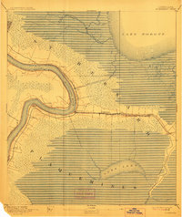
1892 Map of St. Bernard
USGS Topo · Published 1912About this map
Battery Bienvenue stands watch over the marshlands east of the Mississippi River, marking a landscape where military history and delta geography converge. The survey reveals a coastal environment defined by intricate waterways like Bayou Bienvenue and the expansive Lake Borgne. Human activity follows the natural levees and artificial cuts, most notably the Lake Borgne Canal and the curving path of the New Orleans and Gulf Railroad. Small riverfront settlements such as Saxonholm, English Turn, and Little Rock line the river's banks, while the Shell Beach Branch extends eastward toward the coast. This network of rails and canals facilitated the movement of goods through the lowlands of St Bernard and Plaquemines parishes, connecting isolated outposts like Reggio and Contreras to the commerce of the river.
Find a feature on this map
27 named features on this map. Tap any name to fly to it.
Don’t see what you’re looking for? This feature index may not catch every label — zoom into the map to look around manually.
Map Details
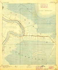
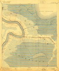
Editions of this 1892 St. Bernard Map
4 editions found
Other maps of this area

1891 · Spanish Fort
USGS Topo · 1:62,500

1891 · Pointe a La Hache
USGS Topo · 1:62,500

1891 · New Orleans
USGS Topo · 1:62,500

1892 · Barataria
USGS Topo · 1:62,500

1892 · Chef Menteur
USGS Topo · 1:62,500

1892 · St. Bernard
USGS Topo · 1:62,500

1892 · Pointe a La Hache
USGS Topo · 1:62,500

1893 · Rigolets
USGS Topo · 1:62,500

1893 · Shell Beach
USGS Topo · 1:62,500

1893 · Dime
USGS Topo · 1:62,500