
1892 Map of St. Bernard
USGS Topo · Published 1892About this map
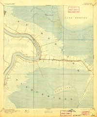
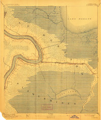
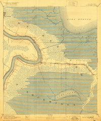
The Mississippi River creates a dramatic meander at English Turn in this late nineteenth-century survey of the Louisiana wetlands. Following the river's high ground, a string of small settlements and plantations including Saxonholm, Poydras, and St Clair anchor the local economy against the surrounding marsh. The infrastructure of the era is defined by the New Orleans and Gulf Railroad, which branches eastward toward Shell Beach, connecting interior points like Toca and Reggio to the city. To the north, the defensive remains of Battery Bienvenue stand near the confluence of Bayou Bienvenue and Bayou Maxent, marking a strategic site guarding the approach from Lake Borgne. The map also details the Lake Borgne Canal, a vital late-century engineering effort to link the river to the gulf waters.
Find a feature on this map
26 named features on this map. Tap any name to fly to it.
Don’t see what you’re looking for? This feature index may not catch every label — zoom into the map to look around manually.
Map Details
Editions of this 1892 St. Bernard Map
4 editions found
Other maps of this area

1891 · Spanish Fort
USGS Topo · 1:62,500

1891 · Pointe a La Hache
USGS Topo · 1:62,500

1891 · New Orleans
USGS Topo · 1:62,500

1892 · Barataria
USGS Topo · 1:62,500

1892 · Chef Menteur
USGS Topo · 1:62,500

1892 · Pointe a La Hache
USGS Topo · 1:62,500

1893 · Rigolets
USGS Topo · 1:62,500

1893 · Shell Beach
USGS Topo · 1:62,500

1893 · Dime
USGS Topo · 1:62,500

1932 · New Orleans NE
USGS Topo · 1:31,680