1980 Map of St. Clair
USGS Topo · Published 1982About this map
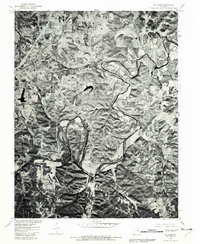
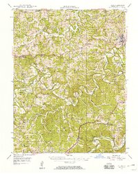
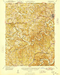
The Meramec River winds in deep, dramatic loops through the eastern portion of this 1980 orthophotoquad, defining the physical character of the Franklin County landscape. While the river follows its natural, winding course through the wooded valleys, the northwestern corner of the map shows the structured expansion of St Clair, where the street grid and local developments like Parkway meet the surrounding rural terrain. This aerial perspective, produced in cooperation with the Soil Conservation Service, provides a clear visual record of land use at a time when traditional agricultural patterns existed alongside the growing footprint of the town. Further south, the settlement at Piney Park sits near a significant bend in the river, while the Fifth Principal Meridian serves as a critical surveying boundary that bisects the region, anchoring the local property lines to the broader American survey system.
Find a feature on this map
5 named features on this map. Tap any name to fly to it.
Don’t see what you’re looking for? This feature index may not catch every label — zoom into the map to look around manually.
Map Details
Editions of this 1980 St. Clair Map
This is the sole edition of this map. No revisions or reprints were ever made.
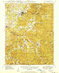
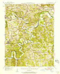
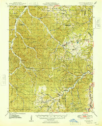
Other maps of this area

1901 · De Soto
USGS Topo · 1:125,000

1903 · Sullivan
USGS Topo · 1:125,000
1934 · Meramec State Park
USGS Topo · 1:24,000
1937 · Meramec State Park
USGS Topo · 1:24,000
1946 · Richwoods
USGS Topo · 1:62,500
1946 · Union
USGS Topo · 1:62,500
1947 · Sullivan
USGS Topo · 1:62,500
1947 · St. Clair
USGS Topo · 1:62,500
1948 · Richwoods
USGS Topo · 1:62,500
1948 · Union
USGS Topo · 1:62,500