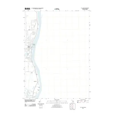
2011 Map of St. Clair
USGS Topo · Published 2011About this map
The Saint Clair River corridor defines the geography of this border region, where the Michigan mainland meets the international waterway. In Saint Clair, the urban grid is anchored by the Saint Clair Post Office and the central island of Saint Clair Middle Ground, which sits at the confluence of the Pine River and the main channel. The landscape reflects a legacy of river navigation and community life, evidenced by the presence of Harts Landing Light and several established burial grounds, including Saint Marys Cemetery and Hillside Cemetery.
Find a feature on this map
42 named features on this map. Tap any name to fly to it.
Don’t see what you’re looking for? This feature index may not catch every label — zoom into the map to look around manually.
Map Details
Editions of this 2011 St. Clair Map
This is the sole edition of this map. No revisions or reprints were ever made.
Other maps of this area

1912 · Port Huron
USGS Topo · 1:62,500

1914 · Algonac
USGS Topo · 1:62,500

1928 · Hicky
USGS Topo · 1:62,500

1929 · Port Huron
USGS Topo · 1:62,500

1936 · St. Clair
USGS Topo · 1:31,680

1936 · Rattle Run
USGS Topo · 1:31,680

1939 · Port Huron
USGS Topo · 1:24,000

1939 · St. Clair
USGS Topo · 1:24,000

1939 · Smiths Creek
USGS Topo · 1:24,000

1939 · Marine City
USGS Topo · 1:24,000