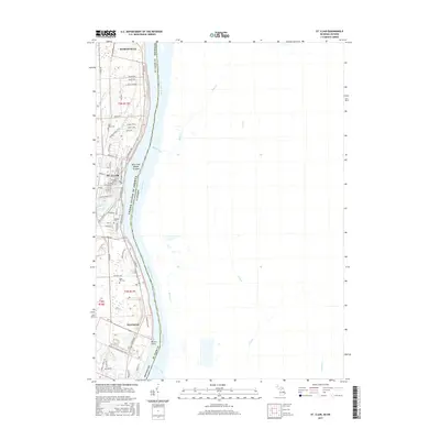
2017 Map of St. Clair
USGS Topo · Published 2017About this map
The St. Clair River serves as the international boundary between Michigan and Canada in this 2017 study of the riverfront corridor. The settlement of St. Clair sits at the confluence where the Pine River meets the main channel, characterized by a grid of streets including Adams St and Fred W Moore Hwy. To the north lies Marysville, while the smaller community of Hawthorne is situated further south along the bank.
Find a feature on this map
62 named features on this map. Tap any name to fly to it.
Don’t see what you’re looking for? This feature index may not catch every label — zoom into the map to look around manually.
Map Details
Editions of this 2017 St. Clair Map
This is the sole edition of this map. No revisions or reprints were ever made.
Other maps of this area

1912 · Port Huron
USGS Topo · 1:62,500

1914 · Algonac
USGS Topo · 1:62,500

1928 · Hicky
USGS Topo · 1:62,500

1929 · Port Huron
USGS Topo · 1:62,500

1936 · St. Clair
USGS Topo · 1:31,680

1936 · Rattle Run
USGS Topo · 1:31,680

1939 · Port Huron
USGS Topo · 1:24,000

1939 · St. Clair
USGS Topo · 1:24,000

1939 · Smiths Creek
USGS Topo · 1:24,000

1939 · Marine City
USGS Topo · 1:24,000