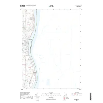
2019 Map of St. Clair
USGS Topo · Published 2019About this map
The St. Clair River forms a major international boundary in this 2019 survey, separating the city of St. Clair from the Ontario shoreline. This riverfront landscape is defined by its waterways, where the Pine River and Belle River wind through the terrain before reaching the main channel. Just offshore, the Saint Clair Middle Ground sits as a prominent landform within the river, while further south, Recors Point marks a bend near the settlement of Hawthorne.
Find a feature on this map
50 named features on this map. Tap any name to fly to it.
Don’t see what you’re looking for? This feature index may not catch every label — zoom into the map to look around manually.
Map Details
Editions of this 2019 St. Clair Map
This is the sole edition of this map. No revisions or reprints were ever made.
Other maps of this area

1912 · Port Huron
USGS Topo · 1:62,500

1914 · Algonac
USGS Topo · 1:62,500

1928 · Hicky
USGS Topo · 1:62,500

1929 · Port Huron
USGS Topo · 1:62,500

1936 · St. Clair
USGS Topo · 1:31,680

1936 · Rattle Run
USGS Topo · 1:31,680

1939 · Port Huron
USGS Topo · 1:24,000

1939 · St. Clair
USGS Topo · 1:24,000

1939 · Smiths Creek
USGS Topo · 1:24,000

1939 · Marine City
USGS Topo · 1:24,000