
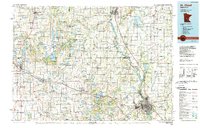
1986 Map of St. Cloud
USGS Topo · Published 1986About this map
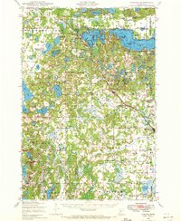
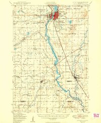
The Mississippi River corridor serves as the primary axis of this mid-1980s survey, anchoring the growing urban centers of St Cloud, Sauk Rapids, and Sartell. The landscape is defined by its transition from industrial riverfronts and granite quarries to an expansive network of dairy farms and wetlands. Significant transport corridors like Interstate 94 and the Burlington Northern railroad facilitate movement across the region, connecting smaller communities such as Albany and Melrose. Numerous state wildlife management areas, including Birch Lake State Wildlife Management Area and Grey Eagle State Wildlife Management Area, illustrate a late-century commitment to conservation amidst agricultural development. Notable landmarks such as Charles A Lindbergh State Park near Little Falls and the Beaver Islands on the Mississippi highlight the area's natural heritage.
Find a feature on this map
140 named features on this map. Tap any name to fly to it.
Don’t see what you’re looking for? This feature index may not catch every label — zoom into the map to look around manually.
Map Details
Editions of this 1986 St. Cloud Map
2 editions found
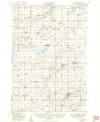
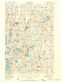
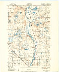
Other maps of this area
1947 · Flensburg
USGS Topo · 1:25,000

1948 · Belle Prairie
USGS Topo · 1:62,500
1948 · Pierz
USGS Topo · 1:62,500
1948 · Lastrup
USGS Topo · 1:62,500
1948 · Cushing
USGS Topo · 1:62,500

1948 · Little Falls
USGS Topo · 1:62,500
1950 · Lastrup
USGS Topo · 1:62,500
1950 · Swanville
USGS Topo · 1:62,500
1950 · Belle Prairie
USGS Topo · 1:62,500
1950 · Little Falls
USGS Topo · 1:62,500