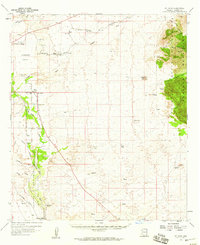
1958 Map of St. David
USGS Topo · Published 1959About this map
The San Pedro River corridor serves as the primary artery for settlement and industry in this portion of Cochise County. The Southern Pacific railroad parallels the river, connecting a series of rail-side points like Sibyl, Tully, and Fenner. Along the riverbanks, the town of St David is centered near a High School and several Artesian Wells, indicating the importance of irrigation in this arid landscape.
Find a feature on this map
48 named features on this map. Tap any name to fly to it.
Don’t see what you’re looking for? This feature index may not catch every label — zoom into the map to look around manually.
Map Details
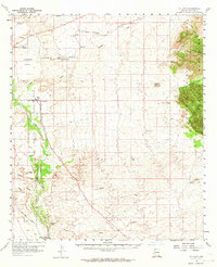
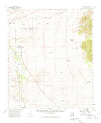
Editions of this 1958 St. David Map
3 editions found
Other maps of this area

1915 · Benson
USGS Topo · 1:125,000

1916 · Pearce
USGS Topo · 1:125,000

1922 · Willcox
USGS Topo · 1:125,000

1922 · St. David
USGS Topo · 1:62,500

1925 · Gleeson
USGS Topo · 1:62,500

1926 · Whetstone
USGS Topo · 1:62,500

1926 · Courtland
USGS Topo · 1:62,500

1932 · Fairbank
USGS Topo · 1:62,500

1938 · Huachuca
USGS Topo · 1:62,500

1943 · Benson
USGS Topo · 1:125,000