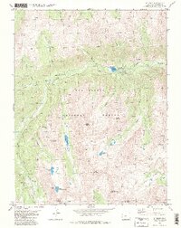
1982 Map of St. Elmo
USGS Topo · Published 1983About this map
Mining operations and high-altitude settlements dominate this portion of the San Isabel National Forest, where the canyon of Chalk Creek serves as the primary artery for transit and industry. The settlement of St Elmo stands as a central hub, surrounded by a dense network of steep drainages like Grizzly Gulch and Pomeroy Gulch. The landscape is heavily marked by late-19th-century extraction efforts, evidenced by the numerous mining sites such as the Mary Murphy Mine and Iron Chest Mine.
Find a feature on this map
47 named features on this map. Tap any name to fly to it.
Don’t see what you’re looking for? This feature index may not catch every label — zoom into the map to look around manually.
Map Details
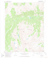
Editions of this 1982 St. Elmo Map
2 editions found
Other maps of this area

1940 · Garfield
USGS Topo · 1:62,500

1945 · Garfield
USGS Topo · 1:62,500

1955 · Buena Vista
USGS Topo · 1:62,500

1955 · Mount Harvard
USGS Topo · 1:62,500

1956 · Poncha Springs
USGS Topo · 1:62,500

1956 · Montrose
USGS Topo · 1:250,000

1959 · Montrose
USGS Topo · 1:250,000

1960 · Montrose
USGS Topo · 1:250,000

1968 · Montrose
USGS Topo · 1:250,000

1982 · Buena Vista West
USGS Topo · 1:24,000