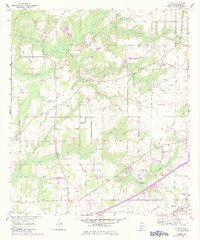
1957 Map of St. Elmo
USGS Topo · Published 1984About this map
St Elmo serves as the focal point for this Southern Mobile County landscape, where the transition from coastal agricultural plains to developing transport networks is evident. The area is defined by its social infrastructure of the mid-20th century, notably the Dawes-Union Sch and local congregations at Union Ch, Providence Ch, and St Johns Ch. Aviation footprints appear through the Idle Hour Airport and the St Elmo Landing Strip, reflecting a period of increased regional connectivity.
Find a feature on this map
26 named features on this map. Tap any name to fly to it.
Don’t see what you’re looking for? This feature index may not catch every label — zoom into the map to look around manually.
Map Details
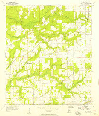
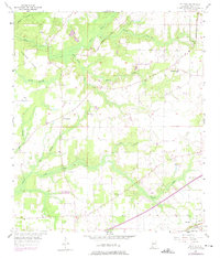
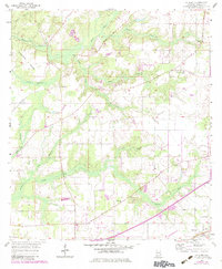
Editions of this 1957 St. Elmo Map
4 editions found
Other maps of this area

1921 · Grand Bay
USGS Topo · 1:62,500

1921 · Delchamps
USGS Topo · 1:62,500

1922 · Mobile
USGS Topo · 1:62,500

1940 · Mobile
USGS Topo · 1:62,500

1941 · Cedar Point
USGS Topo · 1:62,500

1941 · Hurley
USGS Topo · 1:62,500

1942 · Theodore
USGS Topo · 1:31,680

1943 · Cedar Point
USGS Topo · 1:62,500

1943 · Theodore
USGS Topo · 1:31,680

1943 · Grand Bay
USGS Topo · 1:62,500