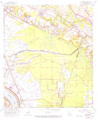
1963 Map of St. Gabriel
USGS Topo · Published 1971About this map
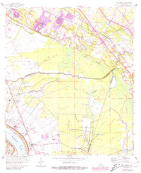
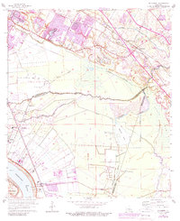
St Gabriel and the surrounding river lands are defined by the winding course of the Mississippi River and the complex drainage of the Bluff Swamp during the early 1960s. The landscape is a transition from the agricultural and institutional activity near the river—including the Louisiana Prison Farm Camp M—to the dense network of bayous like Bayou Manchac and Bayou Paul that carve through the parishes of East Baton Rouge, Iberville, and Ascension. A strong rail presence is evident with the Illinois Central running parallel to the river and the Kansas City Southern cutting across the northern reaches near Siegen. Industrial development is noted by the St Gabriel Gas and Oil Field, while local spiritual and community life is anchored by several country churches, such as St Joseph Ch and Mt Carmel Ch, and the St Raphael Cem.
Find a feature on this map
48 named features on this map. Tap any name to fly to it.
Don’t see what you’re looking for? This feature index may not catch every label — zoom into the map to look around manually.
Map Details
Editions of this 1963 St. Gabriel Map
6 editions found
Other maps of this area

1892 · Donaldsonville
USGS Topo · 1:62,500

1908 · Baton Rouge
USGS Topo · 1:62,500

1934 · Denham Springs
USGS Topo · 1:62,500

1935 · Gonzales
USGS Topo · 1:31,680

1936 · White Castle
USGS Topo · 1:62,500

1939 · Denham Springs
USGS Topo · 1:62,500

1939 · Baton Rouge
USGS Topo · 1:62,500

1939 · Donaldsonville
USGS Topo · 1:62,500

1953 · Baton Rouge West
USGS Topo · 1:24,000

1953 · Plaquemine
USGS Topo · 1:24,000