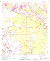
1963 Map of St. Gabriel
USGS Topo · Published 1981About this map
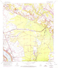
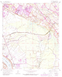
Mississippi River banks and the complex wetlands of Bluff Swamp define this river-and-rail corridor south of Baton Rouge. At the start of the 1960s, the landscape is a patchwork of established river settlements like St Gabriel and Sunshine, industrial infrastructure, and large-scale agriculture. The presence of the Louisiana Prison Farm Camp M near Oakley and the extensive St Gabriel Gas and Oil Field reveal the institutional and extractive industries that shaped local land use. Transport is dominated by the Illinois Central and Kansas City Southern railroads, which parallel the river and the inland bayous. Numerous rural churches and burial sites, including New Rising Sun Ch and the St Raphael Cem, provide critical points of interest for those tracing family history in the parishes of Iberville and Ascension.
Find a feature on this map
43 named features on this map. Tap any name to fly to it.
Don’t see what you’re looking for? This feature index may not catch every label — zoom into the map to look around manually.
Map Details
Editions of this 1963 St. Gabriel Map
6 editions found
Other maps of this area

1892 · Donaldsonville
USGS Topo · 1:62,500

1908 · Baton Rouge
USGS Topo · 1:62,500

1934 · Denham Springs
USGS Topo · 1:62,500

1935 · Gonzales
USGS Topo · 1:31,680

1936 · White Castle
USGS Topo · 1:62,500

1939 · Denham Springs
USGS Topo · 1:62,500

1939 · Baton Rouge
USGS Topo · 1:62,500

1939 · Donaldsonville
USGS Topo · 1:62,500

1953 · Baton Rouge West
USGS Topo · 1:24,000

1953 · Plaquemine
USGS Topo · 1:24,000