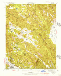
1960 Map of St. Helena
USGS Topo · Published 1967About this map
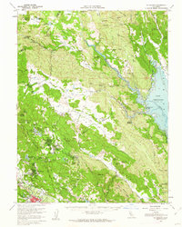
St Helena serves as the focal point for this survey of the Napa Valley and the interior ridges of the Vaca Mountains during the mid-twentieth century. The map reveals a landscape defined by its agricultural and institutional foundations, from the sprawling campus of Pacific Union College and the neighboring community of Angwin to the concentrated activity at Sanitarium. To the north and east, the transition from valley floor to upland is marked by historical resorts like Aetna Springs and the expansive waters of Lake Berryessa, which features underwater contours provided by the Bureau of Reclamation.
Find a feature on this map
92 named features on this map. Tap any name to fly to it.
Don’t see what you’re looking for? This feature index may not catch every label — zoom into the map to look around manually.
Map Details
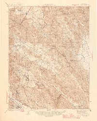
Editions of this 1960 St. Helena Map
2 editions found
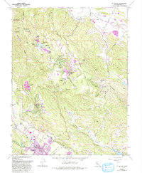
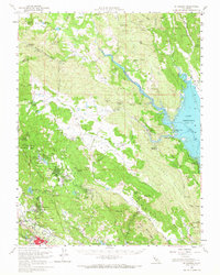
Historical Maps of Howell Mountain Through Time
4 maps found