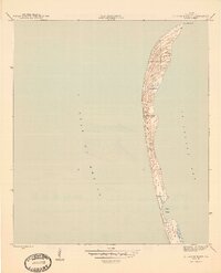
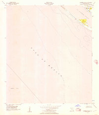
1945 Map of St. Joseph Point
USGS Topo · Published 1945About this map
St Joseph Spit stretches across this mid-1940s survey, illustrating the dynamic coastal geography of the Florida panhandle. The narrow barrier landform separates the open Gulf of Mexico from the protected waters of St Joseph Bay, terminating at the sharp northern hook of St Joseph Pt. The interior of the spit is characterized by intricate dune formations and coastal ridges, showing the natural state of the landscape before significant modern development. Along the eastern shoreline, the sheltered indentation of Eagle Harbor provides one of the few named topographical landmarks on this specialized coastal sheet. This document, produced through a collaboration between the Geological Survey and the Army Corps of Engineers, serves as a precise record of these shifting sands during the World War II era.
Find a feature on this map
5 named features on this map. Tap any name to fly to it.
Don’t see what you’re looking for? This feature index may not catch every label — zoom into the map to look around manually.
Map Details
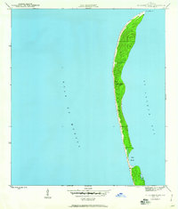
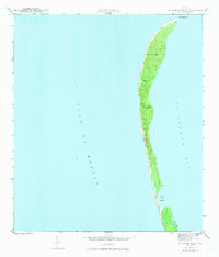
Editions of this 1945 St. Joseph Point Map
4 editions found
Other maps of this area

1943 · St Joseph Spit
USGS Topo · 1:31,680

1943 · Port St. Joe
USGS Topo · 1:31,680

1943 · Cape San Blas
USGS Topo · 1:31,680

1943 · Overstreet
USGS Topo · 1:31,680

1943 · Crooked Island
USGS Topo · 1:31,680

1944 · Beacon Hill
USGS Topo · 1:31,680

1945 · St Joseph Point
USGS Topo · 1:31,680

1949 · Apalachicola
USGS Topo · 1:250,000
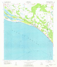
1956 · Beacon Hill
USGS Topo · 1:24,000
1956 · Crooked Island
USGS Topo · 1:24,000