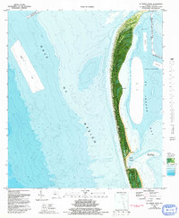
1982 Map of St Joseph Point
USGS Topo · Published 1993About this map
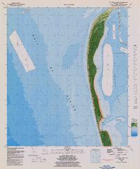
St. Joseph Peninsula dominates this coastal orthophotomap, showing the narrow barrier landform as it appeared in the early 1980s. The map integrates aerial imagery with bathymetric data, detailing the complex shoals and shifting sands around St. Joseph Pt. and the inner waters of St. Joseph Bay. The preservation of the northern tip is noted through the St. Joseph Peninsula State Park designation, a stark contrast to the industrial maritime activity indicated by the Entrance Channel and several designated Spoil Areas.
Find a feature on this map
18 named features on this map. Tap any name to fly to it.
Don’t see what you’re looking for? This feature index may not catch every label — zoom into the map to look around manually.
Map Details
Editions of this 1982 St Joseph Point Map
2 editions found
Other maps of this area

1943 · St Joseph Spit
USGS Topo · 1:31,680

1943 · Port St. Joe
USGS Topo · 1:31,680

1943 · Cape San Blas
USGS Topo · 1:31,680

1943 · Overstreet
USGS Topo · 1:31,680

1943 · Crooked Island
USGS Topo · 1:31,680

1944 · Beacon Hill
USGS Topo · 1:31,680

1945 · St Joseph Point
USGS Topo · 1:31,680

1949 · Apalachicola
USGS Topo · 1:250,000
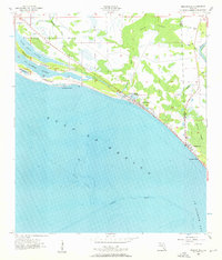
1956 · Beacon Hill
USGS Topo · 1:24,000
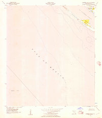
1956 · Crooked Island
USGS Topo · 1:24,000