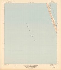
1943 Map of St. Joseph Spit
USGS Topo · Published 1943About this map
St Joseph Spit dominates this coastal survey, appearing as a narrow, shifting landform of Sand Dunes separating the open waters of the Gulf of Mexico from the sheltered reaches of St Joseph Bay. Topographer L. J. Daigre recorded the area's physical state during the height of the second World War, documenting a landscape where the interface of sand and sea was the primary feature. The map highlights the localized hydrography of Pig Bayou, which cuts into the spit and creates a complex shoreline of inlets and tidal flats. This 1943 record captures the spit before mid-century changes, showing the natural accumulation of sand and the primitive barrier island system of the Florida Panhandle in its raw, undeveloped state.
Find a feature on this map
5 named features on this map. Tap any name to fly to it.
Don’t see what you’re looking for? This feature index may not catch every label — zoom into the map to look around manually.
Map Details
Editions of this 1943 St. Joseph Spit Map
4 editions found
Other maps of this area

1943 · St Joseph Spit
USGS Topo · 1:31,680

1943 · Port St. Joe
USGS Topo · 1:31,680

1943 · Cape San Blas
USGS Topo · 1:31,680

1945 · St Joseph Point
USGS Topo · 1:31,680

1949 · Apalachicola
USGS Topo · 1:250,000

1957 · Apalachicola
USGS Topo · 1:250,000

1959 · Apalachicola
USGS Topo · 1:250,000
1960 · Apalachicola
USGS Topo · 1:250,000
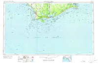
1967 · Apalachicola
USGS Topo · 1:250,000
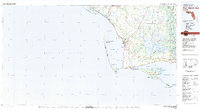
1978 · Port Saint Joe
USGS Topo · 1:100,000