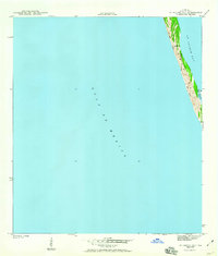
1943 Map of St. Joseph Spit
USGS Topo · Published 1960About this map
St Joseph Spit stretches along the Florida Panhandle coastline, serving as a narrow barrier between the Gulf of Mexico and the calmer waters of St Joseph Bay. Surveyed in the early 1940s by L. J. Daigre, this mapping effort records the shifting geomorphology of the peninsula during a pivotal era of coastal surveillance by the War Department and Army Corps of Engineers. The landscape is dominated by a series of Sand Dunes that comprise the backbone of the spit, punctuated by small coastal inlets such as Pig Bayou on the bay side. This topographic study emphasizes the isolation and natural composition of the barrier landform before modern recreational development and infrastructure altered the footprint of Gulf County's shoreline.
Find a feature on this map
5 named features on this map. Tap any name to fly to it.
Don’t see what you’re looking for? This feature index may not catch every label — zoom into the map to look around manually.
Map Details
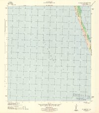
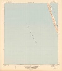
Editions of this 1943 St. Joseph Spit Map
4 editions found
Other maps of this area

1943 · St Joseph Spit
USGS Topo · 1:31,680

1943 · Port St. Joe
USGS Topo · 1:31,680

1943 · Cape San Blas
USGS Topo · 1:31,680

1945 · St Joseph Point
USGS Topo · 1:31,680

1949 · Apalachicola
USGS Topo · 1:250,000

1957 · Apalachicola
USGS Topo · 1:250,000

1959 · Apalachicola
USGS Topo · 1:250,000
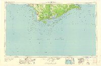
1960 · Apalachicola
USGS Topo · 1:250,000
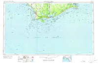
1967 · Apalachicola
USGS Topo · 1:250,000
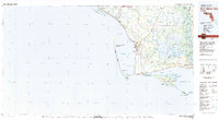
1978 · Port Saint Joe
USGS Topo · 1:100,000