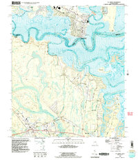
1993 Map of St. Marys
USGS Topo · Published 1995About this map
St Marys serves as the focal point for this 1993 study of the Georgia-Florida borderlands, where the St Marys River snakes through a complex landscape of tidal marshes and coastal plains. The map details the transition from the industrial infrastructure of the Industrial Waste Ponds and St Marys Airport to the preserved lands of the Cumberland Island National Seashore. Waterways like the North River, Jolly River, and Burrells Creek create a labyrinthine geography surrounding Martins Island and Point Peter. Moving south into Florida, the terrain rises toward Roses Bluff and Reids Bluff, while the corridor along the St Marys RR connects the village of Yulee to the riverbank. This edition integrates bathymetric data with topographic features, providing a clear picture of the navigable channels and shoals defining the Tiger Basin and Lanceford Creek before they reach the Atlantic.
Find a feature on this map
53 named features on this map. Tap any name to fly to it.
Don’t see what you’re looking for? This feature index may not catch every label — zoom into the map to look around manually.
Map Details
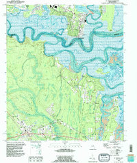
Editions of this 1993 St. Marys Map
2 editions found
Other maps of this area

1918 · St Marys
USGS Topo · 1:62,500

1918 · Cumberland Island
USGS Topo · 1:62,500

1918 · Kingsland
USGS Topo · 1:62,500

1919 · Fernandina
USGS Topo · 1:62,500

1919 · St Marys
USGS Topo · 1:62,500

1930 · Cumberland Island
USGS Topo · 1:62,500

1944 · Fernandina
USGS Topo · 1:62,500

1945 · Cumberland Island
USGS Topo · 1:62,500

1948 · Jacksonville
USGS Topo · 1:250,000

1957 · Jacksonville
USGS Topo · 1:250,000