
1906 Map of St. Marys
USGS Topo · Published 1906About this map
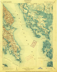
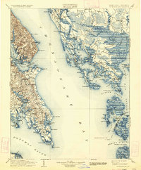
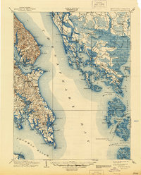
Solomons Id. and the surrounding Chesapeake shoreline represent a coastal landscape defined by its maritime commerce and landings in the early 1900s. Along the western shore of the Chesapeake Bay, the map documents a network of critical river landings and wharves, such as Spencers Wharf, Broomes Wharf, and Bacons Wharf, which served as the primary connection points for local agriculture and trade. The interior of the St. Mary’s peninsula reveals early centers like Centerville and Saint Inigoes, while the eastern portion of the survey highlights the intricate archipelago of the Hooper Islands and Bloodsworth Island. This era captures the region's total reliance on water transport before modern bridge networks, evident in the numerous labeled points and coves like Point Lookout and Cornfield Harbor at the mouth of the Potomac River.
Find a feature on this map
159 named features on this map. Tap any name to fly to it.
Don’t see what you’re looking for? This feature index may not catch every label — zoom into the map to look around manually.
Map Details
Editions of this 1906 St. Marys Map
4 editions found
Other maps of this area

1892 · Leonardtown
USGS Topo · 1:62,500

1892 · Drum Point
USGS Topo · 1:62,500

1892 · Prince Frederick
USGS Topo · 1:62,500

1892 · Piney Point
USGS Topo · 1:62,500

1893 · Sharps Island
USGS Topo · 1:62,500

1894 · Piney Point
USGS Topo · 1:62,500

1894 · Point Lookout
USGS Topo · 1:62,500

1895 · Prince Frederick
USGS Topo · 1:62,500

1895 · Leonardtown
USGS Topo · 1:62,500

1895 · Nomini
USGS Topo · 1:125,000