1919 Map of St. Marys
USGS Topo · Published 1919About this map
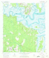
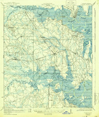
The St Marys River winds along the border between Georgia and Florida, anchoring a landscape defined by expansive tidal marshes and navigable waterways. Surveyed just after the Great War, the map reveals a maritime economy transitioning into the rail era, with the Seaboard Air Line cutting through the coastal terrain to connect settlements like Yulee and Becker. Historically significant landings such as Wilds Ferry and Owens Landing appear alongside the intricate channels of the Bells River and Jolly River. This survey captures the interior transition from the wetlands of Mc Queen Swamp and Boggy Swamp to established community hubs marked by local education centers, including the Evergreen School and Italia School. The coastal islands, notably Tiger Island and the Broward Islands, demonstrate the complex estuarine geography where the Nassau River meets the Atlantic drainage.
Find a feature on this map
66 named features on this map. Tap any name to fly to it.
Don’t see what you’re looking for? This feature index may not catch every label — zoom into the map to look around manually.
Map Details
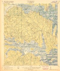
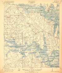
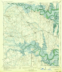
Editions of this 1919 St. Marys Map
5 editions found

Historical Maps of Jacksonville Through Time
1 maps found