
1904 Map of St. Michaels
USGS Topo · Published 1904About this map
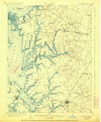
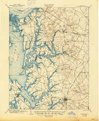
Wye Island and the intricate riverine network of the Eastern Shore dominate this early century survey, capturing the complex geography of the Wye River and Miles River. The landscape is defined by its maritime connections, showing established landings such as Probasco Landing and Skipton Landing that served as vital tidewater transport hubs. Further inland, the agricultural character of the region is evident in small settlements like Wye Mills and Tunis Mills, where the local economy centered on milling along the numerous creeks.
Find a feature on this map
96 named features on this map. Tap any name to fly to it.
Don’t see what you’re looking for? This feature index may not catch every label — zoom into the map to look around manually.
Map Details
Editions of this 1904 St. Michaels Map
3 editions found
Other maps of this area

1892 · Annapolis
USGS Topo · 1:62,500

1893 · Sharps Island
USGS Topo · 1:62,500

1893 · North Point
USGS Topo · 1:62,500

1898 · Choptank
USGS Topo · 1:125,000

1898 · Tolchester
USGS Topo · 1:125,000

1899 · Dover
USGS Topo · 1:125,000

1901 · Chestertown
USGS Topo · 1:62,500

1903 · Tolchester
USGS Topo · 1:125,000

1904 · North Point
USGS Topo · 1:62,500

1904 · Annapolis
USGS Topo · 1:62,500