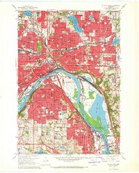
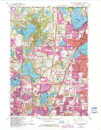
1967 Map of St. Paul East
USGS Topo · Published 1969About this map
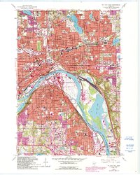
St Paul centers this urban landscape during a period of significant postwar growth, dominated by the winding course of the Mississippi River. The downtown core is defined by landmarks such as the St Paul Cathedral and the St Paul Downtown Airport (Holman Field), while the riverfront is characterized by industrial activity and natural features like Raspberry Island and Harriet Island. To the south, the Stockyards in South St Paul reflect the city's role as a major regional processing hub, flanked by the sprawling Pigs Eye Lake and its associated sewage disposal works.
Find a feature on this map
89 named features on this map. Tap any name to fly to it.
Don’t see what you’re looking for? This feature index may not catch every label — zoom into the map to look around manually.
Map Details
Editions of this 1967 St. Paul East Map
5 editions found

Historical Maps of Battle Creek Through Time
11 maps found
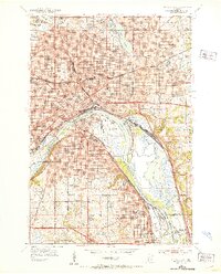
1951 St. Paul East
Ramsey County, MN

1951 St. Paul West
Ramsey County, MN
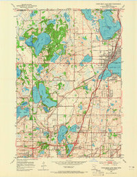
1952 White Bear Lake West
Ramsey County, MN
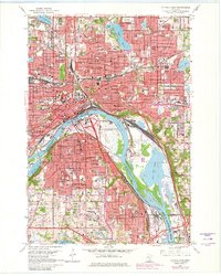
1953 Saint Paul
Ramsey County, MN

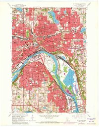
1959 Saint Paul
Ramsey County, MN
1967 St Paul East
Ramsey County, MN
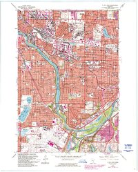
1967 St. Paul West
Ramsey County, MN
1967 White Bear Lake West
Ramsey County, MN
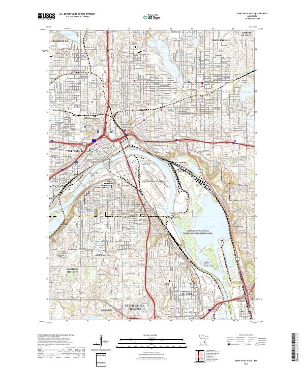
2022 Saint Paul East
Ramsey County, MN
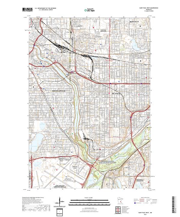
2022 Saint Paul West
Ramsey County, MN
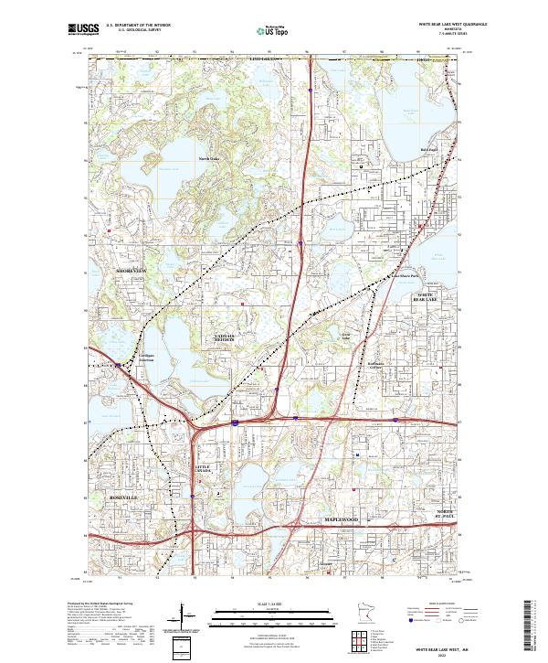
2022 White Bear Lake West
Ramsey County, MN