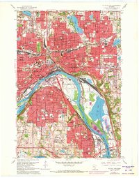
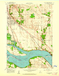
1967 Map of St. Paul East
USGS Topo · Published 1973About this map
The Mississippi River defines the heart of this urban and industrial landscape, separating St Paul from its southern neighbors. During this period of mid-century expansion, the riverfront is a dense corridor of transportation and utility, featuring the Paul Downtown Airport (Holman Field), the municipal Sewage Disposal plant, and the sprawling Stockyards near the South St Paul border. The map illustrates a mature city fabric, with numerous parochial institutions like St Joseph Academy and St Paul Cathedral standing alongside established civic spaces like Phalen Park and Indian Mounds Park.
Find a feature on this map
117 named features on this map. Tap any name to fly to it.
Don’t see what you’re looking for? This feature index may not catch every label — zoom into the map to look around manually.
Map Details
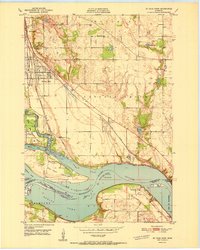
Editions of this 1967 St. Paul East Map
5 editions found

Other maps of this area

1896 · St. Paul
USGS Topo · 1:62,500

1902 · White Bear
USGS Topo · 1:62,500

1946 · Hudson
USGS Topo · 1:62,500

1948 · Stillwater
USGS Topo · 1:62,500

1949 · Hudson
USGS Topo · 1:62,500

1949 · Stillwater
USGS Topo · 1:62,500

1949 · Lake Elmo
USGS Topo · 1:24,000

1950 · Lake Elmo
USGS Topo · 1:24,000
1950 · St Paul Park
USGS Topo · 1:24,000
1951 · St Paul Park
USGS Topo · 1:24,000