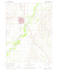
1960 Map of St. Paul
USGS Topo · Published 1976About this map
St Paul serves as the central hub of this Nebraska landscape, situated near the confluence of the Middle Loup River and the Loup River. The town's significance as a county seat is marked by the central Courthouse, a nearby Po, and a Hospital. Transportation patterns in 1960 are clearly defined by the heavy rail influence of the Union Pacific and the Chicago Burlington and Quincy lines, which intersect the agricultural surroundings.
Find a feature on this map
25 named features on this map. Tap any name to fly to it.
Don’t see what you’re looking for? This feature index may not catch every label — zoom into the map to look around manually.
Map Details
Editions of this 1960 St. Paul Map
2 editions found
Other maps of this area

1899 · Loup
USGS Topo · 1:125,000

1899 · St. Paul
USGS Topo · 1:125,000

1953 · Dannebrog
USGS Topo · 1:24,000

1953 · Nysted
USGS Topo · 1:24,000

1953 · Elba
USGS Topo · 1:24,000

1955 · Broken Bow
USGS Topo · 1:250,000

1955 · Wolbach SW
USGS Topo · 1:24,000

1955 · Cushing
USGS Topo · 1:24,000

1956 · Broken Bow
USGS Topo · 1:250,000
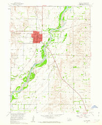
1960 · St. Paul
USGS Topo · 1:24,000