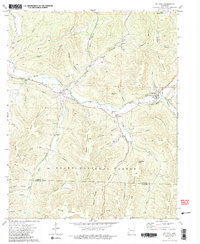
1973 Map of St Paul
USGS Topo · Published 1988About this map
The upper reaches of the White River carve a winding path through the Ozark highlands in the early 1970s, anchoring a landscape defined by sharp ridges and deep hollows. Small river-valley settlements like St Paul and Combs serve as focal points for local life, situated along the valley floor near numerous family burial grounds including Riverside Cem and Prater Cem. This survey illustrates the proximity of residential pockets to the Ozark National Forest, where the terrain rises abruptly toward Mahaffey Knob and Allard Mountain.
Find a feature on this map
62 named features on this map. Tap any name to fly to it.
Don’t see what you’re looking for? This feature index may not catch every label — zoom into the map to look around manually.
Map Details
Editions of this 1973 St Paul Map
4 editions found
Other maps of this area

1879 · Cravens
USGS Topo · 1:62,500

1887 · Watalula
USGS Topo · 1:62,500

1906 · Batson
USGS Topo · 1:62,500
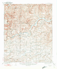
1939 · Watalula
USGS Topo · 1:62,500

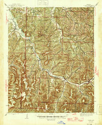
1943 · St. Paul
USGS Topo · 1:62,500
1946 · St. Paul
USGS Topo · 1:62,500

1956 · Russellville
USGS Topo · 1:250,000

1964 · Russellville
USGS Topo · 1:250,000
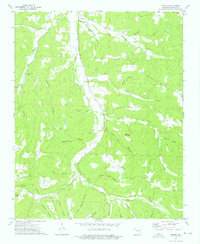
1973 · Witter
USGS Topo · 1:24,000
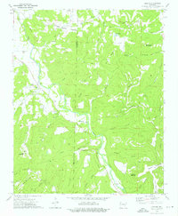
1973 · Durham
USGS Topo · 1:24,000