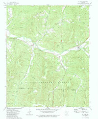
1973 Map of St. Paul
USGS Topo · Published 1984About this map
The White River winds through the southern Ozark highlands on this 1973 survey, carving a path between the steep elevations of the Ozark National Forest and the Madison-Franklin county line. The settlement of St Paul serves as a primary hub in the valley, complemented by the nearby communities of Combs and Brashears. This landscape is particularly dense with small family and community burial grounds, including the Mill Creek Cem, Hickory Creek Cem, and Riverside Cem, which provide critical reference points for genealogical research in this region. High peaks like Standley Mountain and Chimney Rock Mtn overlook the numerous hollows and branches that feed the river system, while the Fly Gap Lookout Tower stands as a prominent landmark on McKay Ridge. The map details a complex network of forest roads and land divisions established just before the mid-1970s.
Find a feature on this map
59 named features on this map. Tap any name to fly to it.
Don’t see what you’re looking for? This feature index may not catch every label — zoom into the map to look around manually.
Map Details
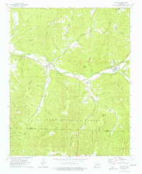
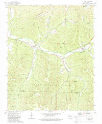
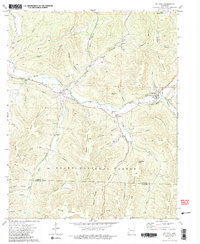
Editions of this 1973 St. Paul Map
4 editions found
Other maps of this area

1879 · Cravens
USGS Topo · 1:62,500

1887 · Watalula
USGS Topo · 1:62,500

1906 · Batson
USGS Topo · 1:62,500

1939 · Watalula
USGS Topo · 1:62,500

1943 · St. Paul
USGS Topo · 1:62,500

1946 · St. Paul
USGS Topo · 1:62,500

1956 · Russellville
USGS Topo · 1:250,000

1964 · Russellville
USGS Topo · 1:250,000
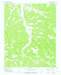
1973 · Witter
USGS Topo · 1:24,000
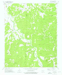
1973 · Durham
USGS Topo · 1:24,000