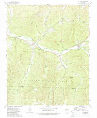
1973 Map of St Paul
USGS Topo · Published 1988About this map
The White River carves a central path through this portion of the Ozark highlands, serving as the primary corridor for the settlements of St Paul, Combs, and Brashears. This 1973 survey illustrates the intersection of small-town life and the expansive Ozark National Forest, where topography heavily dictates the placement of infrastructure. Genealogists will find a wealth of family history markers, including Hickory Creek Cem, Riverside Cem, and Mill Creek Cem, many situated near the various hollows and branches that feed the river system.
Find a feature on this map
68 named features on this map. Tap any name to fly to it.
Don’t see what you’re looking for? This feature index may not catch every label — zoom into the map to look around manually.
Map Details
Editions of this 1973 St Paul Map
4 editions found
Other maps of this area

1879 · Cravens
USGS Topo · 1:62,500

1887 · Watalula
USGS Topo · 1:62,500

1906 · Batson
USGS Topo · 1:62,500

1939 · Watalula
USGS Topo · 1:62,500

1943 · St. Paul
USGS Topo · 1:62,500

1946 · St. Paul
USGS Topo · 1:62,500

1956 · Russellville
USGS Topo · 1:250,000

1964 · Russellville
USGS Topo · 1:250,000
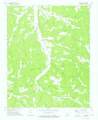
1973 · Witter
USGS Topo · 1:24,000
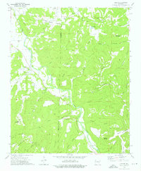
1973 · Durham
USGS Topo · 1:24,000