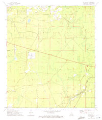
1970 Map of St. Tammany
USGS Topo · Published 1972About this map
St Tammany and the nearby crossroads of St Tammany Corner define the settlement pattern of this piney-woods region north of Lake Pontchartrain during the late 1960s. The landscape is characterized by a network of waterways including Lacombe Bayou, Pouchitolawa Cr, and Abita Cr, which drain the low-lying terrain into the nearby coastal marshes. A distinct mix of traditional rural life and mid-century utility is evident, where the quiet Crow Cem and Gum Swamp exist alongside modern infrastructure such as a Pumping Station, a Radio Facility, and a network of pipelines. Large tracts marked as private suggest the legacy of timber or agricultural holdings, while a small Landing Field provides a local aviation connection to the more developed centers of the parish.
Find a feature on this map
13 named features on this map. Tap any name to fly to it.
Don’t see what you’re looking for? This feature index may not catch every label — zoom into the map to look around manually.
Map Details
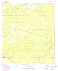
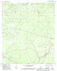
Editions of this 1970 St. Tammany Map
3 editions found
Other maps of this area

1935 · Slidell
USGS Topo · 1:62,500

1935 · Covington
USGS Topo · 1:62,500

1939 · Slidell
USGS Topo · 1:62,500

1939 · Covington
USGS Topo · 1:62,500

1942 · Waldheim
USGS Topo · 1:31,680

1942 · Talisheek
USGS Topo · 1:31,680

1942 · Walkiah Bluff
USGS Topo · 1:31,680

1950 · Slidell
USGS Topo · 1:62,500

1950 · Covington
USGS Topo · 1:62,500

1953 · Mobile
USGS Topo · 1:250,000