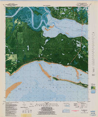
1981 Map of St. Teresa
USGS Topo · Published 1982About this map
St. Marks National Wildlife Refuge and Ochlockonee River State Park dominate this coastal landscape at the confluence of the Ochlockonee River and St. Marks River. The map details a complex hydrologic system where the river meets Ochlockonee Bay, featuring numerous islands such as Thoms Island, Grass Island, and Turtle Island. This orthophotomap format provides a unique view of the vegetation patterns and tidal flats that define the Franklin and Wakulla County border.
Find a feature on this map
35 named features on this map. Tap any name to fly to it.
Don’t see what you’re looking for? This feature index may not catch every label — zoom into the map to look around manually.
Map Details
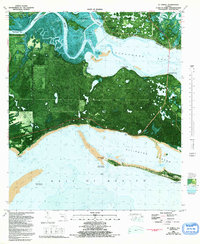
Editions of this 1981 St. Teresa Map
2 editions found
Other maps of this area

1940 · Arran
USGS Topo · 1:62,500

1943 · Arran
USGS Topo · 1:62,500

1943 · Dog Island
USGS Topo · 1:31,680

1943 · St. Teresa Beach
USGS Topo · 1:24,000

1943 · Lighthouse Point
USGS Topo · 1:24,000

1945 · Lighthouse Point
USGS Topo · 1:31,680

1945 · Mc Intyre
USGS Topo · 1:31,680

1945 · St Teresa
USGS Topo · 1:31,680

1945 · Sanborn
USGS Topo · 1:31,680

1949 · Apalachicola
USGS Topo · 1:250,000