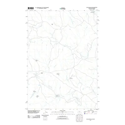
2011 Map of Stack Rocks
USGS Topo · Published 2011About this map
Stack Rocks and the distinctive Rock Wall formation characterize this high-plains landscape along the Montana-Wyoming border in Carter County. The terrain is defined by an intricate network of waterways, including Thompson Creek, North Thompson Creek, and the East Fork Little Powder River. A notable human imprint on the land is the series of water management features with whimsical playing-card names, such as Ace of Diamonds Dam, Jack of Spades Dam, and the Queen of Hearts Dam. These structures, along with the Gerald Craft Number 6 Dam, suggest a landscape focused on ranching and water conservation in an arid environment. The presence of Ridge Rd provides one of the few named transport corridors through this drainage-rich territory, which also includes Coal Creek and Short Creek.
Find a feature on this map
15 named features on this map. Tap any name to fly to it.
Don’t see what you’re looking for? This feature index may not catch every label — zoom into the map to look around manually.
Map Details
Editions of this 2011 Stack Rocks Map
This is the sole edition of this map. No revisions or reprints were ever made.
Other maps of this area

1905 · Devils Tower
USGS Topo · 1:125,000

1954 · Ekalaka
USGS Topo · 1:250,000

1954 · Gillette
USGS Topo · 1:250,000

1955 · Gillette
USGS Topo · 1:250,000

1956 · Ekalaka
USGS Topo · 1:250,000

1957 · Cedar Ridge
USGS Topo · 1:62,500

1958 · Gillette
USGS Topo · 1:250,000

1958 · Ekalaka
USGS Topo · 1:250,000

1962 · Gillette
USGS Topo · 1:250,000

1965 · Ekalaka
USGS Topo · 1:250,000