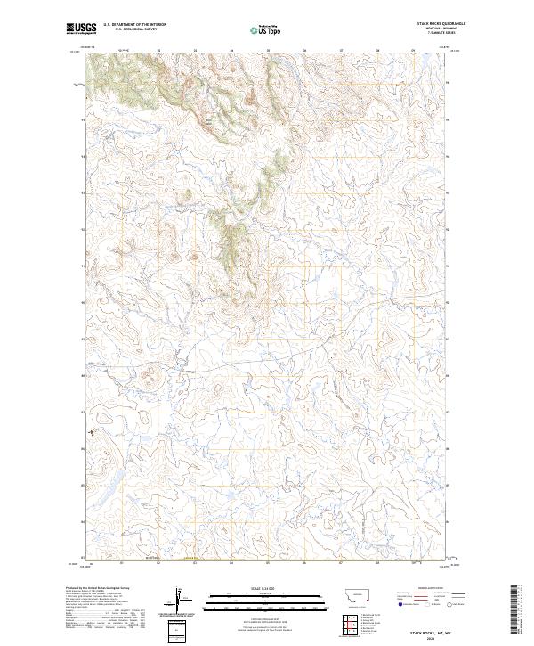
2024 Map of Stack Rocks
USGS Topo · Published 2024About this map
The high plains of Carter County, Montana, define this modern landscape, where the headwaters of several drainages carve through the arid terrain. The Rock Wall stands as a prominent geological feature in the northern portion of the quadrangle, overlooking the upper reaches of Coal Creek. This area is characterized by its sparse infrastructure, primarily consisting of high-country routes like Alzada Ridge Rd and Ridge Rd that follow the natural topography. The drainage network is complex, with North Thompson Creek and Thompson Creek winding through the southern half of the map, while the East Fork Little Powder River touches the northern edge. This map documents a corner of the American West where traditional land divisions of the Public Land Survey System, such as t8s r55e, still dictate the spatial organization of this open country.
Find a feature on this map
15 named features on this map. Tap any name to fly to it.
Don’t see what you’re looking for? This feature index may not catch every label — zoom into the map to look around manually.
Map Details
Editions of this 2024 Stack Rocks Map
This is the sole edition of this map. No revisions or reprints were ever made.
Other maps of this area

1905 · Devils Tower
USGS Topo · 1:125,000

1954 · Ekalaka
USGS Topo · 1:250,000

1954 · Gillette
USGS Topo · 1:250,000

1955 · Gillette
USGS Topo · 1:250,000

1956 · Ekalaka
USGS Topo · 1:250,000

1957 · Cedar Ridge
USGS Topo · 1:62,500

1958 · Gillette
USGS Topo · 1:250,000

1958 · Ekalaka
USGS Topo · 1:250,000

1962 · Gillette
USGS Topo · 1:250,000

1965 · Ekalaka
USGS Topo · 1:250,000