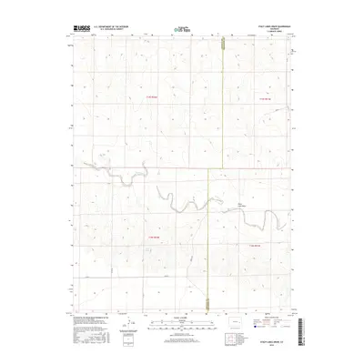
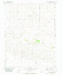
2016 Map of Stacy Lakes Draw
USGS Topo · Published 2016About this map
Stacy Lakes Draw carves a winding path through the high plains of the Colorado borderlands, defining the drainage patterns of this arid landscape. This 2016 survey documents a sparsely populated ranching environment along the boundary of Lincoln and Cheyenne counties. The intermittent waters of Rush Creek and its tributary Rush Creek meander across the terrain, supported by the presence of Stacy Spring. The landscape is organized by a precise grid of rural routes, including Co Rd 46 and Co Rd J, which provide the primary access to the large sections of the Public Land Survey System. These roads trace the section lines established by early surveyors, illustrating how the late-nineteenth-century township-and-range system continues to dictate the human geography and property boundaries of the region today.
Find a feature on this map
14 named features on this map. Tap any name to fly to it.
Don’t see what you’re looking for? This feature index may not catch every label — zoom into the map to look around manually.
Map Details
Editions of this 2016 Stacy Lakes Draw Map
This is the sole edition of this map. No revisions or reprints were ever made.
Other maps of this area
1891 · Arroyo
USGS Topo · 1:125,000
1893 · Arroyo
USGS Topo · 1:125,000

1954 · Lamar
USGS Topo · 1:250,000

1958 · Lamar
USGS Topo · 1:250,000
1978 · Galatea NE
USGS Topo · 1:24,000
1978 · Aroya
USGS Topo · 1:24,000
1978 · Barrel Springs Draw
USGS Topo · 1:24,000
1978 · Galatea SW
USGS Topo · 1:24,000
1978 · Rock Basin
USGS Topo · 1:24,000
1978 · Stacy Lakes Draw
USGS Topo · 1:24,000