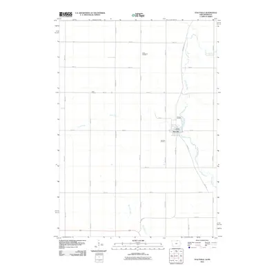
2010 Map of Stacyville
USGS Topo · Published 2010About this map
Stacyville sits at the heart of this Mitchell County landscape, where the Little Cedar River winds through a structured grid of agricultural roads. The town's layout is anchored by the Stacyville Post Office, while the surrounding countryside is defined by the intersections of named thoroughfares like Lancer Ave and 470th St. This area reflects the late twentieth-century development of Iowa's northern borderlands, maintaining a quiet rural character just south of the Minnesota line.
Find a feature on this map
26 named features on this map. Tap any name to fly to it.
Don’t see what you’re looking for? This feature index may not catch every label — zoom into the map to look around manually.
Map Details
Editions of this 2010 Stacyville Map
This is the sole edition of this map. No revisions or reprints were ever made.
Other maps of this area

1954 · Austin
USGS Topo · 1:62,500

1954 · Mason City
USGS Topo · 1:250,000

1957 · Mason City
USGS Topo · 1:250,000

1958 · Mason City
USGS Topo · 1:250,000

1965 · Adams
USGS Topo · 1:24,000

1972 · Osage
USGS Topo · 1:24,000

1972 · St. Ansgar
USGS Topo · 1:24,000

1972 · Little Cedar
USGS Topo · 1:24,000

1972 · New Haven
USGS Topo · 1:24,000

1972 · Osage SW
USGS Topo · 1:24,000