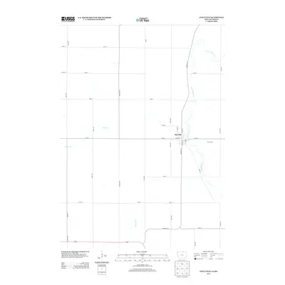
2013 Map of Stacyville
USGS Topo · Published 2013About this map
Stacyville sits at the intersection of a rural landscape defined by the meandering path of the Little Cedar River and a rigid grid of agricultural roads. This Mitchell County community is organized around central arteries like W Main St and S Broad St, serving as a localized hub for the surrounding dairy and farming operations. The terrain is drained by several small waterways, including Turtle Cr to the west and Burr Oak Cr to the south. The presence of Brumm Dairy on the eastern edge of town reflects the enduring importance of the dairy industry in this part of northern Iowa. Surveyed in the early 21st century, the map documents the modern footprint of this border-region settlement, where long-established section lines dictate the movement of commerce and travel across the prairie.
Find a feature on this map
29 named features on this map. Tap any name to fly to it.
Don’t see what you’re looking for? This feature index may not catch every label — zoom into the map to look around manually.
Map Details
Editions of this 2013 Stacyville Map
This is the sole edition of this map. No revisions or reprints were ever made.
Other maps of this area

1954 · Austin
USGS Topo · 1:62,500

1954 · Mason City
USGS Topo · 1:250,000

1957 · Mason City
USGS Topo · 1:250,000

1958 · Mason City
USGS Topo · 1:250,000

1965 · Adams
USGS Topo · 1:24,000

1972 · Osage
USGS Topo · 1:24,000

1972 · St. Ansgar
USGS Topo · 1:24,000

1972 · Little Cedar
USGS Topo · 1:24,000

1972 · New Haven
USGS Topo · 1:24,000

1972 · Osage SW
USGS Topo · 1:24,000