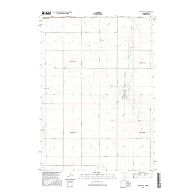
2015 Map of Stacyville
USGS Topo · Published 2015About this map
Stacyville sits at the center of this agricultural landscape in northern Mitchell County, Iowa, just south of the Minnesota border. The town is oriented around the Little Cedar River, which flows southward through the eastern half of the quadrangle. The settlement pattern here follows a rigid grid of rural roads such as Lancer Ave and 480th St, typical of the Midwest's Public Land Survey System. To the west, the smaller community of Toeterville marks another center of local activity near Turtle Cr. Local genealogy is well-documented through several designated burial sites, including Visitation Cem and Stacyville Cem near the primary town, as well as the Union Presbyterian Cem and Toeter Cem further out in the township sections. The southern portion of the map is drained by Burr Oak Cr, with Highway 218 cutting across the southwestern corner.
Find a feature on this map
35 named features on this map. Tap any name to fly to it.
Don’t see what you’re looking for? This feature index may not catch every label — zoom into the map to look around manually.
Map Details
Editions of this 2015 Stacyville Map
This is the sole edition of this map. No revisions or reprints were ever made.
Other maps of this area
1954 · Austin
USGS Topo · 1:62,500
1954 · Mason City
USGS Topo · 1:250,000
1957 · Mason City
USGS Topo · 1:250,000
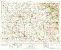
1958 · Mason City
USGS Topo · 1:250,000
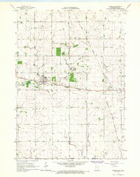
1965 · Adams
USGS Topo · 1:24,000
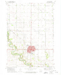
1972 · Osage
USGS Topo · 1:24,000
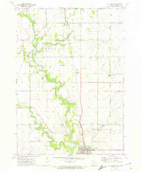
1972 · St. Ansgar
USGS Topo · 1:24,000
1972 · Little Cedar
USGS Topo · 1:24,000
1972 · New Haven
USGS Topo · 1:24,000
1972 · Osage SW
USGS Topo · 1:24,000