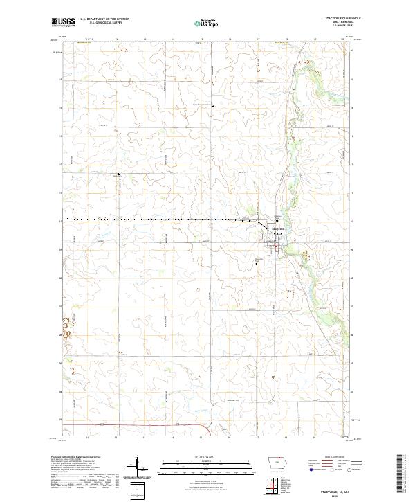
2022 Map of Stacyville
USGS Topo · Published 2022About this map
Stacyville serves as the central hub of this Mitchell County landscape, situated along the banks of the Little Cedar River. The settlement pattern reflects a deeply rooted agricultural community, with a grid of rural roads such as Monument Ave and Lancer Ave connecting the surrounding farmsteads. Several burial grounds, including Visitation Cem, Union Presbyterian Cem, and the Stacyville Cem south of town, provide essential points of reference for genealogists tracking early families in the region. The terrain is defined by the gentle drainage of Turtle Cr and Burr Oak Cr, which feed into the primary river system. This survey documents the modern layout of the town's streets, including N Albion St and S Randolph St, and its connection to the wider county via Co Rd A23.
Find a feature on this map
31 named features on this map. Tap any name to fly to it.
Don’t see what you’re looking for? This feature index may not catch every label — zoom into the map to look around manually.
Map Details
Editions of this 2022 Stacyville Map
This is the sole edition of this map. No revisions or reprints were ever made.
Other maps of this area

1954 · Austin
USGS Topo · 1:62,500

1954 · Mason City
USGS Topo · 1:250,000

1957 · Mason City
USGS Topo · 1:250,000

1958 · Mason City
USGS Topo · 1:250,000

1965 · Adams
USGS Topo · 1:24,000

1972 · Osage
USGS Topo · 1:24,000

1972 · St. Ansgar
USGS Topo · 1:24,000

1972 · Little Cedar
USGS Topo · 1:24,000

1972 · New Haven
USGS Topo · 1:24,000

1972 · Osage SW
USGS Topo · 1:24,000