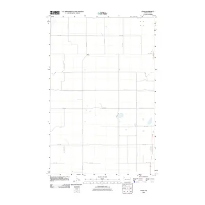
2011 Map of Stady
USGS Topo · Published 2011About this map
Stady serves as the central point of reference in this corner of Divide County, appearing here during the early twenty-first century. The landscape is defined by a rigid section-line road network, a signature of the Great Plains' agricultural layout, where County Hwy-3 intersects with routes like 90th St NW and 140th Ave NW. These surveyed corridors illustrate the enduring rural structure of the region, providing access to the vast open spaces and prairie depressions that characterize the local hydrography. The map provides a precise record of the secondary roads, including 137th Ave NW and 87th St NW, which link the scattered homesteads and agricultural operations that sustain the area around the Stady settlement.
Find a feature on this map
15 named features on this map. Tap any name to fly to it.
Don’t see what you’re looking for? This feature index may not catch every label — zoom into the map to look around manually.
Map Details
Editions of this 2011 Stady Map
This is the sole edition of this map. No revisions or reprints were ever made.
Other maps of this area

1948 · Smoky Butte
USGS Topo · 1:24,000

1948 · Hanks
USGS Topo · 1:24,000

1948 · Stady
USGS Topo · 1:24,000

1948 · Zahl
USGS Topo · 1:24,000

1953 · Williston
USGS Topo · 1:250,000

1957 · Williston
USGS Topo · 1:250,000

1977 · Appam
USGS Topo · 1:24,000

1983 · Writing Rock North
USGS Topo · 1:24,000

1983 · Alexandria
USGS Topo · 1:24,000

1983 · Writing Rock South
USGS Topo · 1:24,000