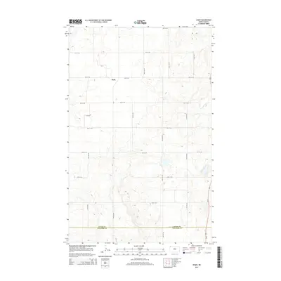
2014 Map of Stady
USGS Topo · Published 2014About this map
Stady serves as the focal point for this expansive prairie landscape in the northwestern corner of North Dakota. Situated primarily in Divide Co but reaching south to the border of Williams Co, the area is defined by a rigorous section-line road grid. Major corridors like Us-85 and Cr-7 cut across the high plains, connecting the small settlement to the surrounding agricultural region. The landscape is characterized by its high elevation and the numerous small depressions and depressions typical of the Missouri Coteau region, shown through detailed contour mapping. Beyond the primary settlement, the map documents the strictly organized network of local routes including 90th St NW and 138th Ave NW, which delineate the ranching and farming tracts that have sustained this community for generations.
Find a feature on this map
19 named features on this map. Tap any name to fly to it.
Don’t see what you’re looking for? This feature index may not catch every label — zoom into the map to look around manually.
Map Details
Editions of this 2014 Stady Map
This is the sole edition of this map. No revisions or reprints were ever made.
Other maps of this area
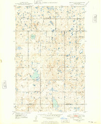
1948 · Smoky Butte
USGS Topo · 1:24,000
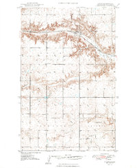
1948 · Hanks
USGS Topo · 1:24,000
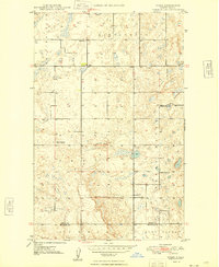
1948 · Stady
USGS Topo · 1:24,000
1948 · Zahl
USGS Topo · 1:24,000
1953 · Williston
USGS Topo · 1:250,000
1957 · Williston
USGS Topo · 1:250,000
1977 · Appam
USGS Topo · 1:24,000
1983 · Writing Rock North
USGS Topo · 1:24,000
1983 · Alexandria
USGS Topo · 1:24,000
1983 · Writing Rock South
USGS Topo · 1:24,000