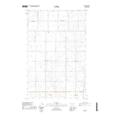
2020 Map of Stady
USGS Topo · Published 2020About this map
Stady marks the northern prairie landscape of Divide County, just above the boundary with Williams Co. This rural map of the Northwestern North Dakota plains captures a classic section-line road grid, defined by routes such as 91st St NW and 140th Ave NW. The terrain is shaped by numerous small potholes and depressions common to this glaciated region, with several cemeteries serving as anchors for the local agricultural community. Genealogists and local historians can locate the Thompson Cem in the eastern half of the township and the Rudser Church Cem further south. The map illustrates the 2020 layout of this borderland area, where Township 160 North meets Township 159 North at the county line.
Find a feature on this map
28 named features on this map. Tap any name to fly to it.
Don’t see what you’re looking for? This feature index may not catch every label — zoom into the map to look around manually.
Map Details
Editions of this 2020 Stady Map
This is the sole edition of this map. No revisions or reprints were ever made.
Other maps of this area

1948 · Smoky Butte
USGS Topo · 1:24,000

1948 · Hanks
USGS Topo · 1:24,000

1948 · Stady
USGS Topo · 1:24,000

1948 · Zahl
USGS Topo · 1:24,000

1953 · Williston
USGS Topo · 1:250,000

1957 · Williston
USGS Topo · 1:250,000

1977 · Appam
USGS Topo · 1:24,000

1983 · Writing Rock North
USGS Topo · 1:24,000

1983 · Alexandria
USGS Topo · 1:24,000

1983 · Writing Rock South
USGS Topo · 1:24,000