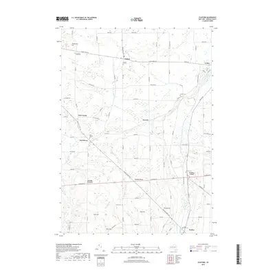
2019 Map of Stafford
USGS Topo · Published 2019About this map
Stafford and Le Roy anchor this rural landscape in Genesee County, where the terrain is marked by distinct rises like Temperance Hill and Scarf Hill. The map traces a network of historic thoroughfares, including the arterial Telephone Rd and E Main Street Rd, which connect a series of small hamlets and uniquely named locales such as Suicide Corners and Texaco Town. These settlements are interspersed with numerous burial grounds of significant genealogical interest, from the Fargo Road Pioneer Cem to the Jug City Cem. The hydrological character of the region is defined by the winding course of Oatka Creek and its tributaries, Black Cr and White Cr, which carve through the farmland. This 2019 survey documents a landscape where traditional agricultural patterns persist alongside small crossroads communities like Pavilion Center and Roanoke.
Find a feature on this map
50 named features on this map. Tap any name to fly to it.
Don’t see what you’re looking for? This feature index may not catch every label — zoom into the map to look around manually.
Map Details
Editions of this 2019 Stafford Map
This is the sole edition of this map. No revisions or reprints were ever made.
Other maps of this area

1897 · Albion
USGS Topo · 1:62,500

1899 · Brockport
USGS Topo · 1:62,500

1904 · Batavia
USGS Topo · 1:62,500

1904 · Caledonia
USGS Topo · 1:62,500

1935 · Churchville
USGS Topo · 1:24,000

1944 · Churchville
USGS Topo · 1:31,680

1944 · Byron
USGS Topo · 1:31,680

1944 · Stafford
USGS Topo · 1:31,680
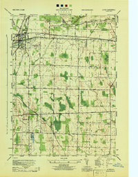
1944 · Le Roy
USGS Topo · 1:31,680
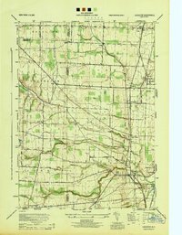
1944 · Leicester
USGS Topo · 1:31,680