
1944 Map of Stafford
USGS Topo · Published 1944About this map
The Experimental Station and the Genesee County Health Camp highlight the institutional character of this Genesee County landscape during the mid-1940s. Centered on Stafford and Pavilion, the map reveals a meticulously surveyed agricultural region defined by a dense grid of rural schools and family-named roads. The drainage patterns of Oatka Creek, Black Creek, and White Creek carve through the terrain, dictating the placement of early settlements and local infrastructure.
Find a feature on this map
68 named features on this map. Tap any name to fly to it.
Don’t see what you’re looking for? This feature index may not catch every label — zoom into the map to look around manually.
Map Details
Editions of this 1944 Stafford Map
This is the sole edition of this map. No revisions or reprints were ever made.
Other maps of this area

1897 · Albion
USGS Topo · 1:62,500

1899 · Brockport
USGS Topo · 1:62,500

1904 · Batavia
USGS Topo · 1:62,500

1904 · Caledonia
USGS Topo · 1:62,500

1935 · Churchville
USGS Topo · 1:24,000

1944 · Churchville
USGS Topo · 1:31,680

1944 · Byron
USGS Topo · 1:31,680
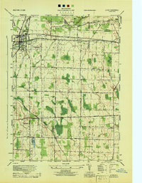
1944 · Le Roy
USGS Topo · 1:31,680
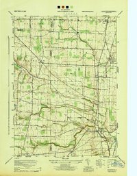
1944 · Leicester
USGS Topo · 1:31,680
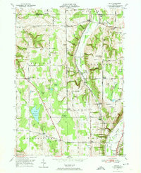
1949 · Dale
USGS Topo · 1:24,000