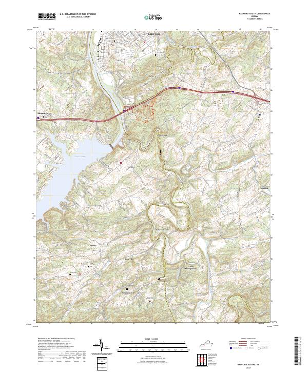
2022 Map of Staffordsville
USGS Topo · Published 2022About this map
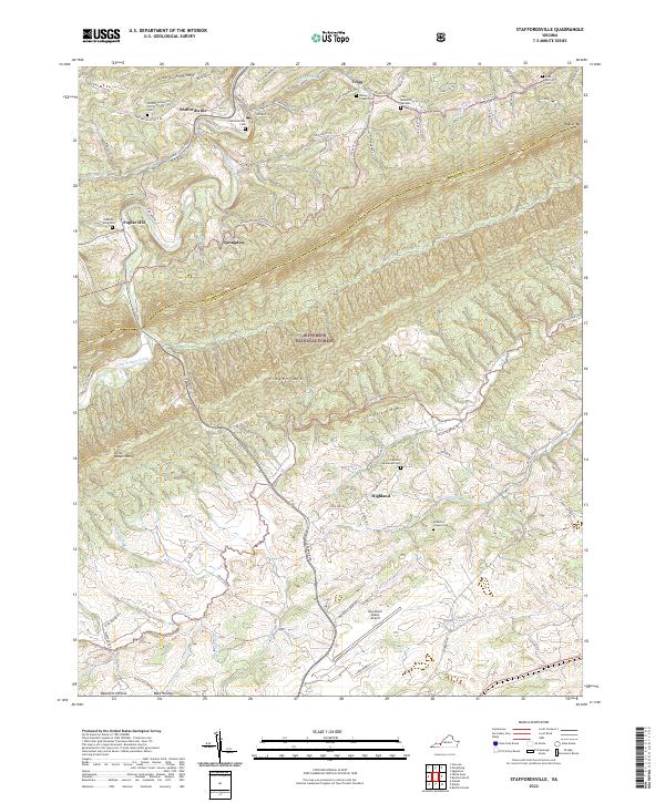
Walker Creek cuts through the ridges of the Virginia highlands, anchoring a landscape where small settlements like Staffordsville and Springdale sit tucked between the steep elevations of Cloyds Mtn and Walker Mtn. This modern topographical study captures the enduring rural character of the Giles and Pulaski County border, where family history is etched into the terrain at sites like the Wilson Family Cem and Anderson-Vickers Cem. The central portion of the map is dominated by the protected acreage of the Jefferson National Forest, contrasting with the more developed southern corridor near Highland. Modern infrastructure is represented by the New River Valley Airport, while the intricate network of watercourses including Little Walker Creek and McGavock Cr reveals the natural drainage patterns that have dictated local land use for generations.
Find a feature on this map
88 named features on this map. Tap any name to fly to it.
Don’t see what you’re looking for? This feature index may not catch every label — zoom into the map to look around manually.
Map Details
Editions of this 2022 Staffordsville Map
This is the sole edition of this map. No revisions or reprints were ever made.
Historical Maps of Poplar Hill Through Time
5 maps found