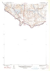
1947 Map of Stager
USGS Topo · Published 1947About this map
The Brule River and Paint River define this borderland geography, where the state line between Michigan and Wisconsin follows the winding river course. The settlement of Stager serves as a central point of activity, situated at a junction of the Chicago and Northwestern railroad. This rail infrastructure was critical for moving goods and people through the Northwoods during the mid-1940s. To the north, the Iron State Game Area covers a significant portion of the landscape, indicating the importance of conservation and managed wilderness in this era.
Find a feature on this map
19 named features on this map. Tap any name to fly to it.
Don’t see what you’re looking for? This feature index may not catch every label — zoom into the map to look around manually.
Map Details
Editions of this 1947 Stager Map
This is the sole edition of this map. No revisions or reprints were ever made.
Other maps of this area
1899 · Sagola
USGS Topo · 1:62,500
1899 · Crystal Falls
USGS Topo · 1:62,500
1939 · Iron Mountain
USGS Topo · 1:48,000
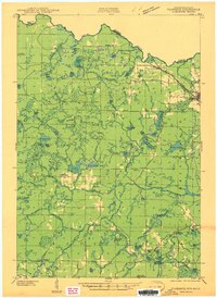
1941 · Florence
USGS Topo · 1:48,000
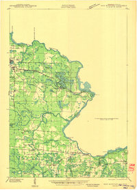
1941 · Iron Mountain
USGS Topo · 1:48,000
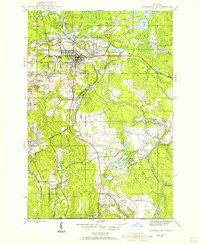
1944 · Crystal Falls
USGS Topo · 1:24,000
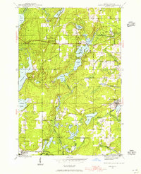
1944 · Fortune Lakes
USGS Topo · 1:24,000
1946 · Crystal Falls
USGS Topo · 1:31,680
1946 · Fortune Lakes
USGS Topo · 1:31,680
1947 · Naults
USGS Topo · 1:24,000