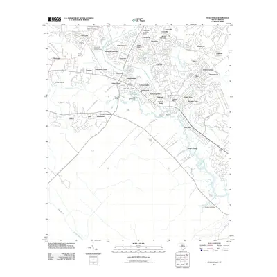
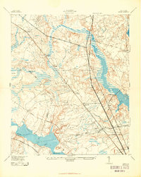
2011 Map of Stallsville
USGS Topo · Published 2011About this map
The Ashley River winds through this coastal South Carolina landscape, serving as a focal point for historic landmarks and modern residential expansion. The presence of Old Fort Dorchester and the Bacon Bridge crossing underscores the area's deep colonial and military roots, while numerous family and community burial grounds like Boone Hill Cemetery, Summerville Cemetery, and Cooke Cemetery offer significant value for genealogical research.
Find a feature on this map
73 named features on this map. Tap any name to fly to it.
Don’t see what you’re looking for? This feature index may not catch every label — zoom into the map to look around manually.
Map Details
Editions of this 2011 Stallsville Map
This is the sole edition of this map. No revisions or reprints were ever made.
Other maps of this area
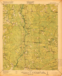
1918 · Cottageville
USGS Topo · 1:62,500

1919 · Ladson
USGS Topo · 1:21,120
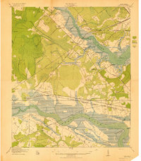
1919 · Johns Island
USGS Topo · 1:21,120

1919 · Summerville
USGS Topo · 1:48,000
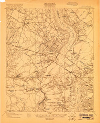
1919 · Ridgeville
USGS Topo · 1:48,000
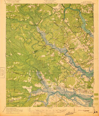
1920 · Ravenels
USGS Topo · 1:62,500
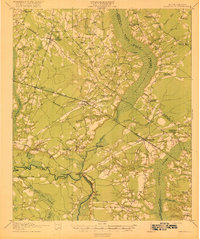
1920 · Ridgeville
USGS Topo · 1:62,500
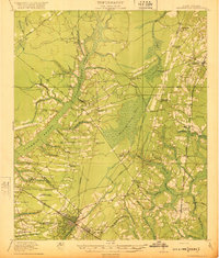
1920 · Summerville
USGS Topo · 1:62,500
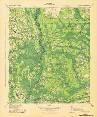
1943 · Cottageville
USGS Topo · 1:62,500
1943 · Ladson
USGS Topo · 1:24,000